On March 22, 2014, a massive landslide occured near Oso, Washington, US. According to the media reports, at least 8 people were killed, and more than 100 people are missing.
We used seismic data to estimate the dynamic landslide process. The largest signal was recorded from 10:37AM for about 2 minutes (Fig 1). The second largest signal was around 10:42AM, with smaller amplitudes. These signals are considered to be the dynamic movement of the main landslide mass. Several smaller signals were recorded after that at the closest station. They are probablly rock falls from the landslide scarp.
The waveforms show the landslide started accelerating quickly after the sliding, and slowly deccelerated. An impact signal such as collision with the valley was not observed.
Results of the waveform inversion show the direction of the movement of the landslide is north-west to south-east.
Examples of seismic data from landslides are Mt. St Helens on May 18, 1980, Tayphoon Talas in Kii peninsula Japan on September 2011.
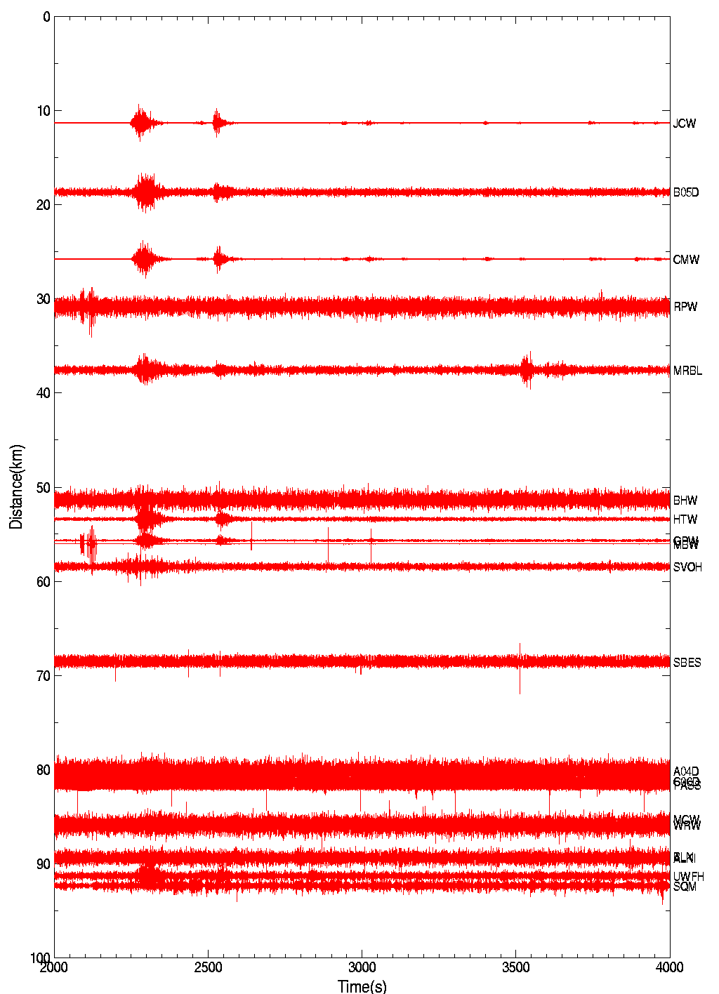
Fig 1 Seismic Recordings of the IRIS Data Center. The largest signal was recorded at 10:37AM, March 22, PST. The signal continues about 2 minutes.
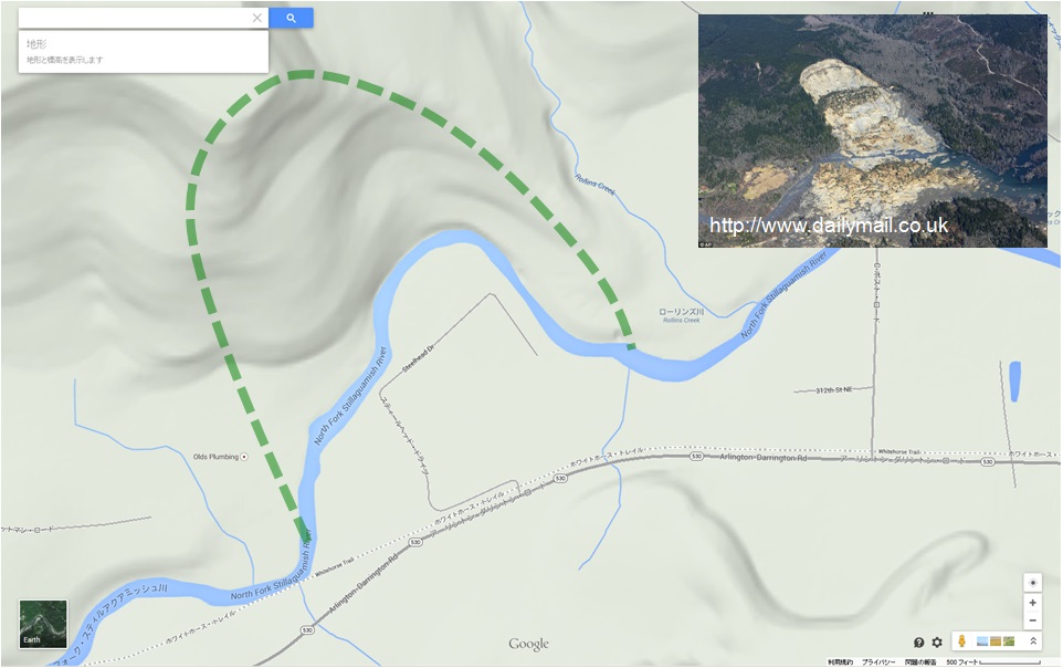
Fig 2 Map of the Landslide in Oso (Google Map and Dailymail)
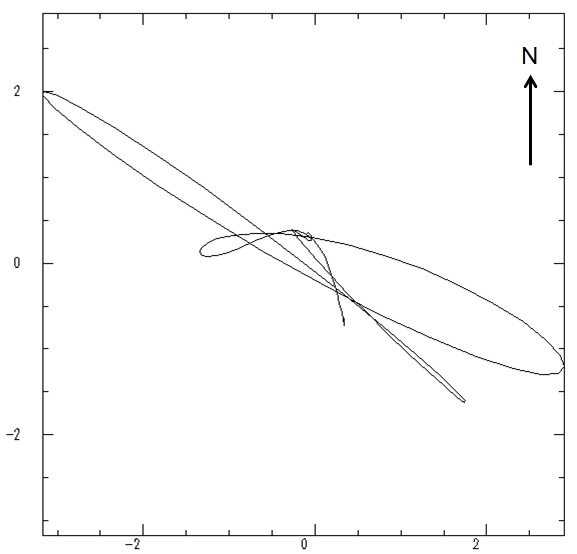
Fig 3 Direction of the main landslide motion analyzed by the waveform inversion
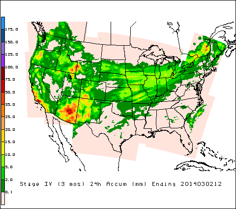
Fig 4 Daily precipitation in US (National Stage IV QPE Product, NOAA)
Reference:
Yamada, M., H. Kumagai, Y. Matsushi, and T. Matsuzawa (2013). Dynamic Landslide Processes Revealed by Broadband Seismic Records, Geophysical Research Letters, doi:10.1002/grl.50437.
Yamada, M., Y. Matsushi, M. Chigira, and J. Mori (2012).
Seismic recordings of the Landslides caused by Typhoon Talas,
Geophysical Research Letters.
Acknowledgement:
We used the seismic data archived by the IRIS Data Center.