Tsunami heritages @ Tokushima |
Home |
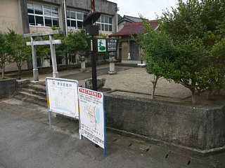
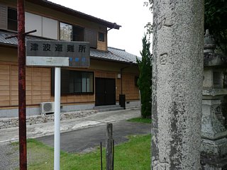
| Signs of tsunami evacuation area. |
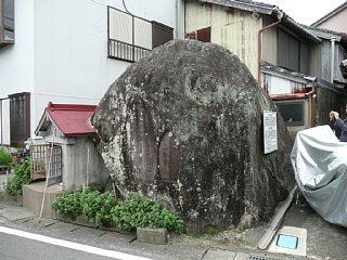
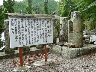
A rock on which a historical tsunami report was curved. |
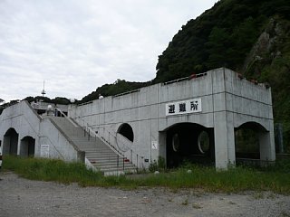
| Evacuation shelter. |
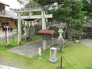
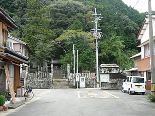
Evacuation area (Asakawa-tenjinsha shrine). |
| A sign of tsunami evacuation area in front of the shrine. |
A gate of the shrine damaged by the tsunami in 1604 |
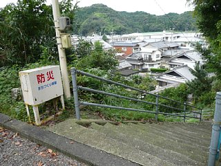
| An evacuation area on a hill. |
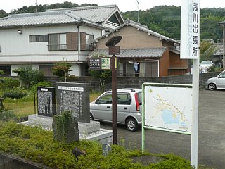
Map, sign, and historical tsunami monument. |
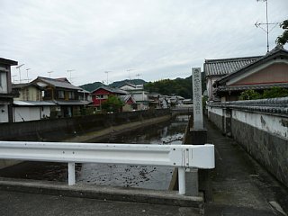
| A sign of the past tsunami height. This bridge was collapsed by the previous tsunami, and people could not evacuate. |
Evacuation area (Misaki shrine). |
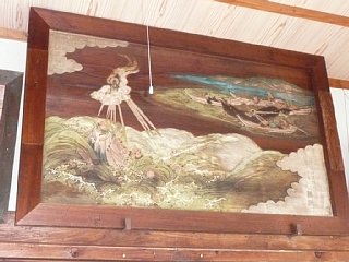
| Picture of tsunami in Senkoji temple. |
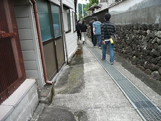
This house was offset to broaden evacuation route. |
| Tsunami barrier in Asakawa bay. |
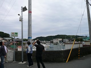
Estimated tsunami height (red) and estimated tsunami inundation height (blue). (not sure what the difference is...) |
